• Home
  • Products
    • Agricultural Drone
      • P150
      • P60
      • P100 Pro
    • AutoPilot Console
      • APC2
    • Smart Farm Solutions
      • FBV
      • FPDI
      • FPI
      • FC5
      • FS2 & FR2
    • Unmanned Ground Vehicle
      • R150 2022
      • R150 2020
    • Remote Sensing Drone
      • M2000
      • M500
  • News
    • News Centre
  • About
    • About XAG
    • CSR
    • Service
    • Contact Us
  • Become a Distributor
    • Apply Now
    • Distribution Network
        Seeing The Big Picture
        In Every Detail
        Watch
        XAG M500 Remote Sensing Drone is designed for precision
        agriculture, with the capability to fly autonomously and capture high
        definition images with high-performance data processing. Partnering
        with XAG M500, you can better understand your farm to enable timely
        and effective actions.
        Vision to Digital Farmland
        Map precise
        The XAG M500 can help build a
        digital map of your farmlands, in
        which each plot and each crop has
        its own coordinate that allows
        precise operation of autonomous
        drones and robots.
        drones and robots.
        Scout effortless
        The XAG M500 can fly
        autonomously at high-frequency to
        capture overall farmland images.
        Without getting their feet on the
        ground, farmers can master every
        change of their fields with ease
        and take timely measures.
        Grow smart
        By taking advantage of third-party
        AI software, the XAG M500 can
        help you gain insight into plant
        growth and identify crop
        abnormity. Decisions are made
        with science to enable variable-
        rate spraying and fertilization.
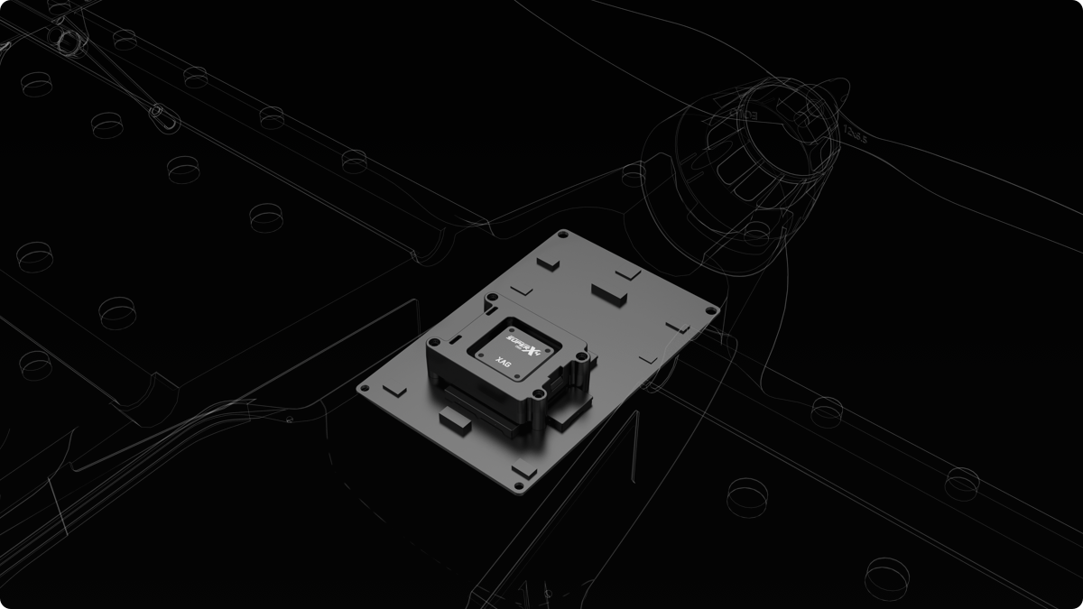
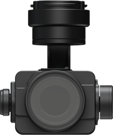
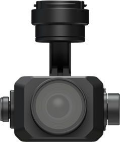
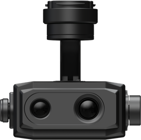
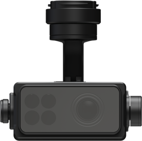
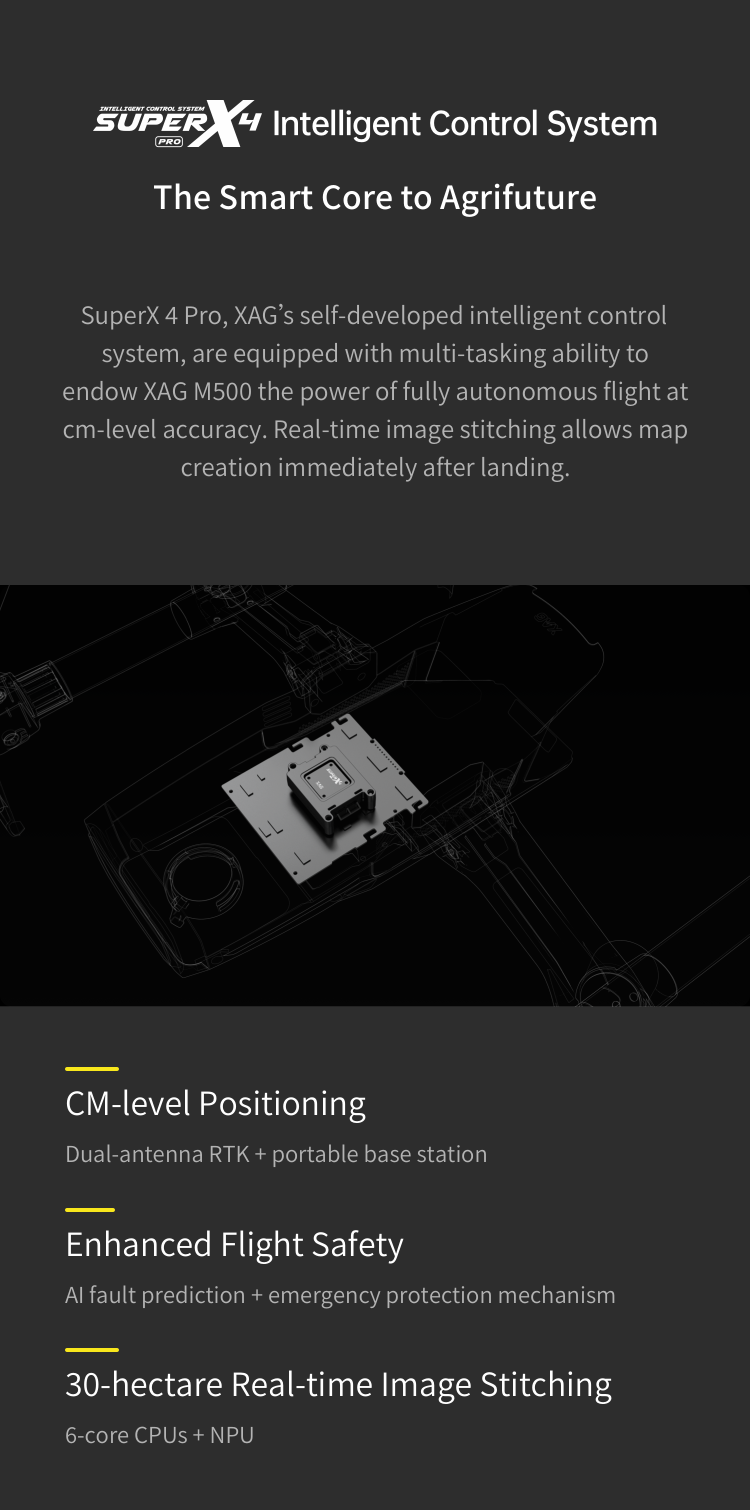
        The Smart Core to Agrifuture
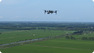
        SuperX 4 Pro, XAG's self-developed Intelligent Control System, are
        equipped with multi-tasking ability to endow XAG M500 the power of
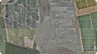
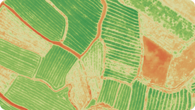
        fully autonomous flight at cm-level accuracy. Real-time image stitching
        allows map creation immediately after landing.
        CM-level Positioning
        Dual-antenna RTK + portable base station
        Enhanced Flight Safety
        AI fault prediction + emergency protection mechanism
        30-hectare Real-time Image Stitching
        6-core CPUs + NPU
        Seeing the Unseen
        Four switchable cameras can capture multi-dimensional data from field
        overview to crops growth status. Reveal hidden but valuable information
        to help manage your farm with lower operation cost.
        XCam 20MP Pro
        Gimbal Camera¹
        · 20 MP 1" CMOS Sensor
        · Robust ISP
        · Ground Control Point-Free
        Used for Orthophoto & Oblique Photography
        XCam 26MP APS-C
        Gimbal Camera²
        · 26 MP APS-C CMOS Sensor
        · 0.4s Shooting Interval
        · Photos in Five Directions
        Used for Orthophoto & Oblique Photography
        XCam 20H Hybrid
        Gimbal Camera³
        · Infrared & 20 MP 1" CMOS Sensor
        · Temperature Measurement at ±3℃ accuracy
        Used for HD Map & Thermal Map
        · Used for HD Map & Thermal Map
        XCam 20M Multispectral
        Gimbal Camera⁴
        · 20 MP 1" CMOS Sensor & 4-Channel
        Multispectral Sensor
        · Automatic Sunlight Compensation
        Real-time NDVI Video
        Easy Control With One Screen
        XAG SRC1 Smart Remote Controller, with its built-in touchscreen and
        XPilot APP, allows freely switch between autonomous flight and manual
        control. Multiple flight planning modes are available to meet your needs
        of various application scenarios. The 4G and Wi-Fi dual communication
        system support stable and long-range internet connection.
        XPilot APP⁵
        Easy flight planning
        4G + Wi-Fi Dual Link
        Stable signal & image transmission
        5.5" 800 Lumens
        HD Touchscreen
        Clear visual under strong light
        4.5h Duration⁶
        Suitable for longer task
        Field Mapping
        HD map
        Oblique Photography
        3D map
        POI Cruising
        Target areas scouting
        Strip Mapping
        River & roadway inspection
        Mapping Your Farm into Precision Agriculture
        Weeds Control
        Practices
        The XAG M500 can be used for weed
        detection on crops, with the weed zone
        identified and located via the third-party
        AI software. Then a prescription map will
        be sent to the XAG agricultural drones for
        variable-rate spraying that can remove
        weeds with less pesticide use.
        Fertilization
        Management
        The XAG M500 can collect crop growth
        data and produce digital field maps to be
        analysed by the AI software. The AI
        prescription map will be generated and
        guide the XAG agricultural drone to spread
        fertilizers on where necessary. Improve
        yields with reduced fertilizers.
        Cotton Boll
        Opening Control
        The XAG M500 can create an HD cotton
        field map where the immature boll opening
        can be discovered and tagged. When
        receiving the labeled map, the XAG
        agricultural drones will conduct defoliation
        on target zones to facilitate large-scale
        mechanical harvesting.
        Note:
        1. 2. 3. 4. Four cameras all featured: mechanical shutter max out at 1/2000s, 3-Axis gimbal, auto distortion correction, maximum 512 GB sd card supported.
        2.Equipped with this camera, the M500 can capture 5 images at different angles rapidly before next vertical shoot, which is almost 5 times faster than traditional oblique photography when
        other parameters are the same.
        5. xml file is supported for different applications.
        6. The specific performance may vary depending on the working environment, temperature, user habits, etc. Please use strictly in accordance with the official product guidelines.
        Back to Top
        • 关于我们
          • 1
          • 2
          • 3
          • 4
        • 产品分类
        • 品牌生态
        • 服务支持
        Stay in Touch
        overseas@xa.com
        • Privacy Policy
        • Terms of Use
        © 2005-2025 XAG Co., Ltd. All Rights Reserved. (粤ICP备13085628号).
        • Products
          Agricultural Drone
          AutoPilot Console
          Unmanned Ground Vehicle
          Remote Sensing Drone
        • Smart Farm Solutions
        • About
          About XAG
          CSR
          Service
          Contact Us
        • News
          News Centre
        • Distribution Network
          Distributors
          Apply Now
        Stay in Touch
        overseas@xa.com
        • Privacy Policy
        • Terms of Use
        © 2005-2025 XAG Co., Ltd. All Rights Reserved. (粤ICP备13085628号). 简体中文
        极飞科技微信
        极飞客户服务号
        极飞农业